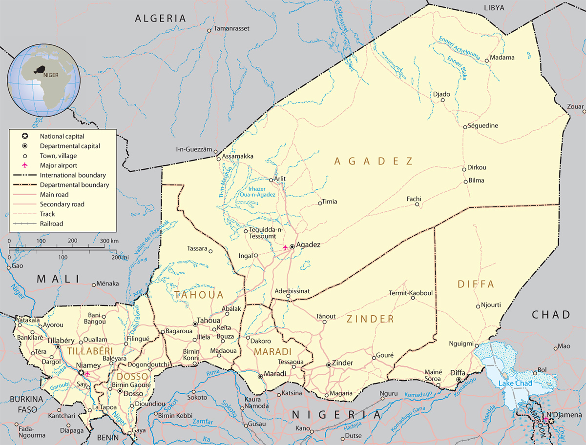
Map of Niger
Niger is a country in western Africa, bounded on the north by Algeria and Libya, on the east by Chad, on the south by Nigeria and Benin, and on the west by Burkina Faso and Mali. It is a highland region of plateaus and mountains and, except in scattered oases, has little vegetation. In this region is Monts Bagzane (2,022 m), the highest elevation in the country. The capital is Niamey.


|
Copyright © Geographic Guide - World in Pictures. African Continent. |
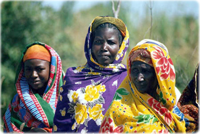
People of Niger.

M. McGahuey