World in Robinson Projection - Center in America
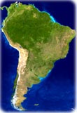
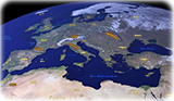
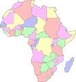
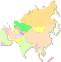
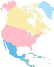
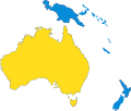
Images of Continents
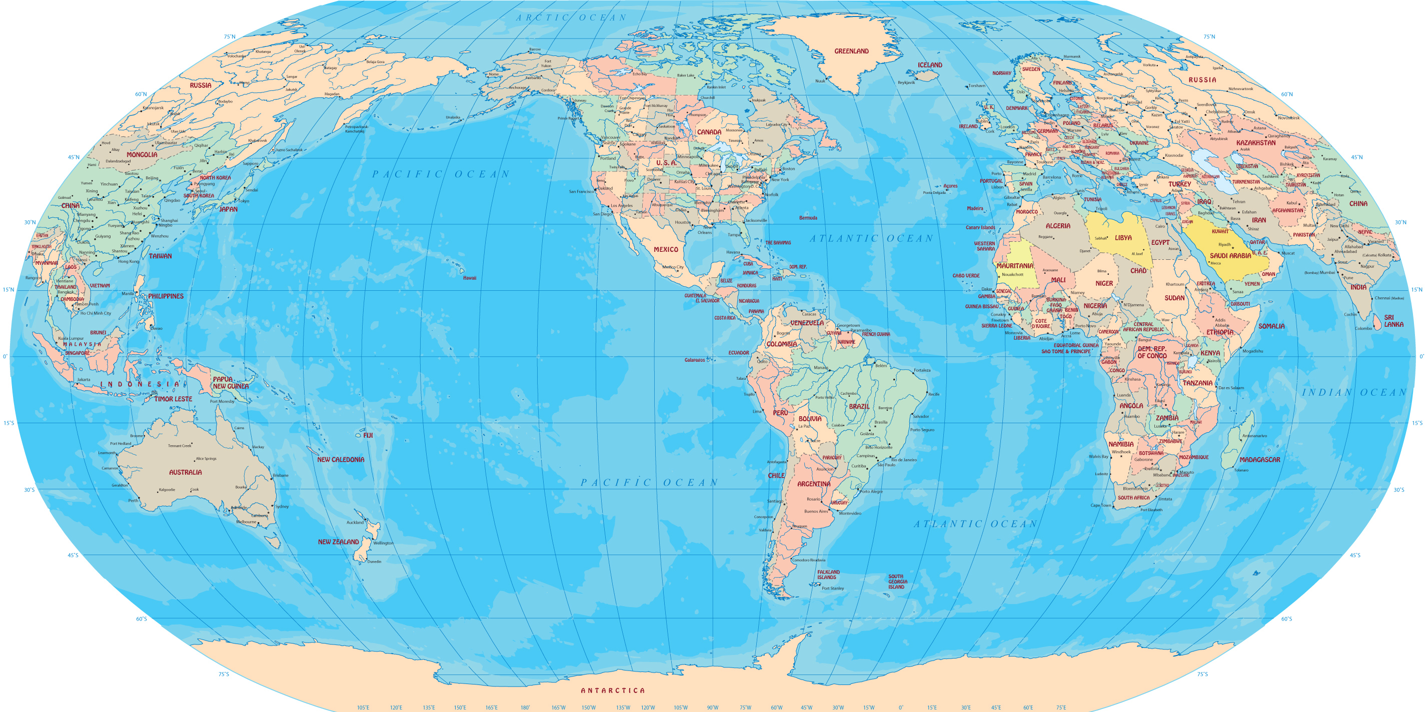
This is a world map in Robinson Projection. A projection is a method of drawing the Earth’s meridians and parallels on a flat surface. On a Robinson projection, the North and South Poles are shown as lines rather than points.

World in Robinson Projection - Center in America
|
Copyright © Geographic Guide - World in Pictures. |
All rights reserved |