Images of Italy
Italy (Italia) is a republic in southern Europe. The country can be generally divided into the more urban north and the mostly rural south. The more prosperous north contains most of Italy’s larger cities and about two-thirds of the country’s population. Administratively, Italy is divided into 20 regions, each of which is subdivided into provinces and communes.
More: Map of Italy ►
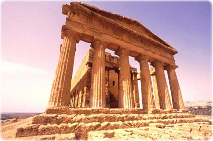
Greek Temple ruins in Agrigento, Sicily.

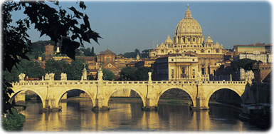
St. Peter's Basilica as seen from Tiber river, in Italy.
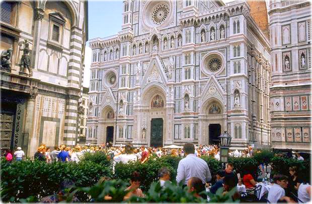
Below, Florence, capital of Firenze province and Toscana region. Founded by the Romans about the 1st century BC, it was also the capital of Italy during 1865–1871.
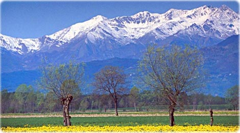
Dandelions in Piedmont, Italian Alps.
◄ Europe
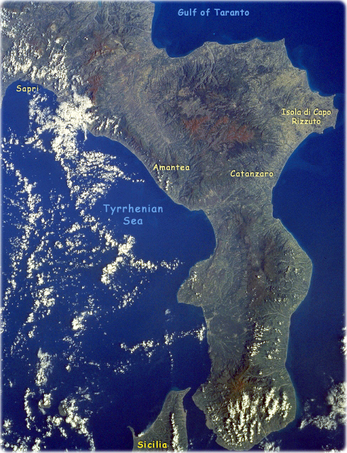
Calabria, Italy Fall/Winter 1997 The elongated peninsula at the southern end of mainland Italy shows a mountainous spine that traverses the peninsula from northeast to southwest. The darker area inland from the coast is the rugged Calabrian Mountains where some peaks exceed 1542 meters above sea level. This forested region is also known as the Silan uplands where a variety of lakes, meadows, and elevated pastures are intermixed with the wooded areas. The drainage pattern observed around the geologic structure (darker feature-bottom center) has the characteristics of an old, severely eroded, extinct volcano (source: NASA).
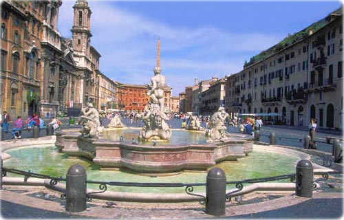
Piazza Navona, in Rome. Two fountains and the church of Sant' Agnese.
|
Copyright © Geographic Guide - World in Pictures. |


