Mediterranean Basin
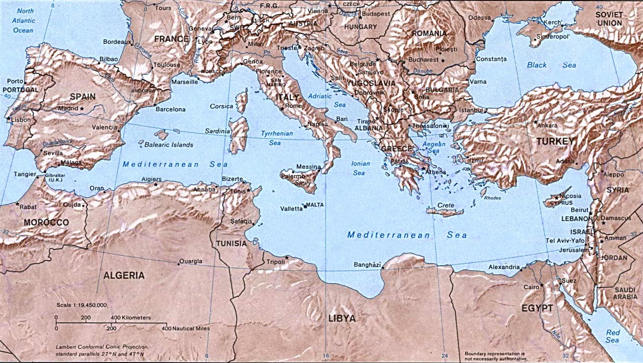
Map of the 80's by NASA and USGS, when Yugoslavia still existed as a country.
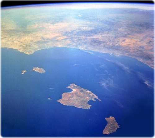
The Balearic Islands in the Mediterranean Sea (NASA, May 1996). These Spanish islands are a major tourist area noted for its picturesque scenery and mild climate. Majorca, famous for many prehistoric monuments, is the largest of the Balearic Islands. On the west and northwest sides of the island lie the Sierra de Alfabia Mountains, rising to an altitude of 1445 meters.

Some countries in the area


|
Copyright © Geographic Guide - World in Pictures. European Continent. |
All rights reserved |