Map of the Arctic Region

Map of the Arctic Region


Source: CIA - The World Factbook 2002.


The Arctic Ocean is a body of water between Europe, Asia, and North America, mostly north of the Arctic Circle. It includes Barents Sea, Beaufort Sea, Chukchi Sea, East Siberian Sea, Greenland Sea, Kara Sea, Laptev Sea, Northwest Passage, Norwegian Sea, and other tributary water bodies. Winters in the area are characterized by continuous darkness, cold and stable weather conditions, and clear skies; summers characterized by continuous daylight, damp and foggy weather, and weak cyclones with rain or snow.


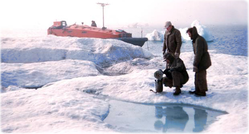
Researchers


Researchers taking a sample of water in the Arctic region.


Alaska


Copyright © Geographic Guide - World in Pictures.

All rights reserved


Arctic


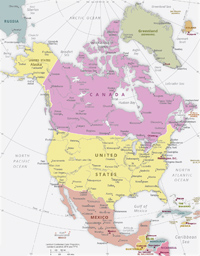
North America political map


World in Pictures


Arctic

Maps