Maps
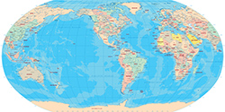
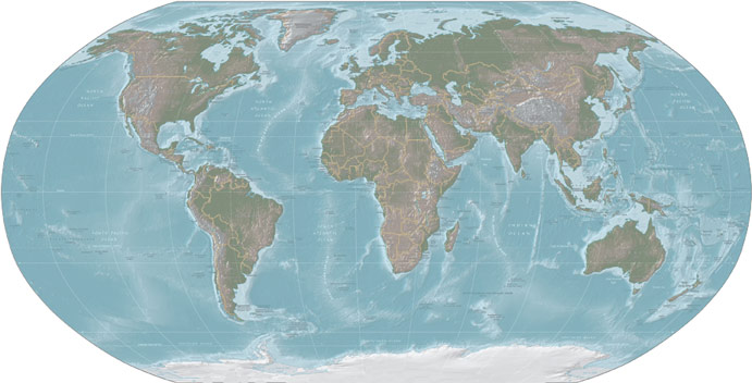
The Planet Earth has an average diameter of 12,742 km, making it the fifth largest planet of the Solar System. Distribution and density of human population varies greatly around the world with the majority living in south to eastern Asia and 90% inhabiting only the Northern Hemisphere.
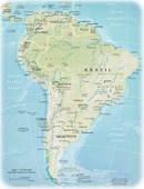
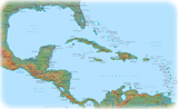
The world has traditionally six continents: Africa, Asia, Europe, America, Oceania and Antarctica. America is divided into four parts: North America, Central America, South America and the Antilles. Oceania is a geographical division of the Earth, which consists of Australia and most of the Pacific islands.
Maps of Continents
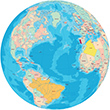
Satellite Images
|
Copyright © Geographic Guide - World in Pictures. Geography. |
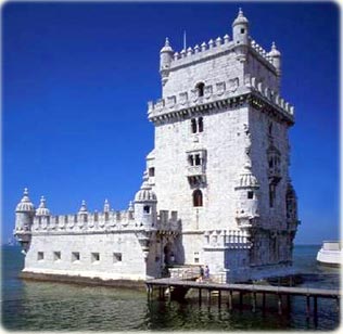
Tower of Belem in Tejo river, Lisbon, Portugal. A fortress constructed from 1514 to 1520. Today a cultural icon and a World Heritage Cultural Site. At that time, Portugal was the greatest power in the world, with many domains on four continents: Europe, Africa, America and Asia.
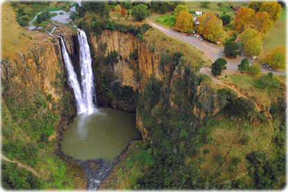
Howick Falls on the Umgeni River near the town of Howick in KwaZulu-Natal. The falls are 93m high and the area is a natural heritage site (photo Herman Potgieter).
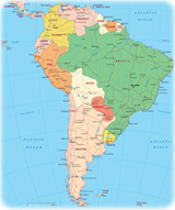
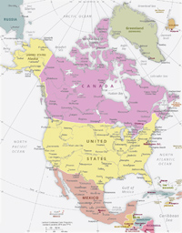
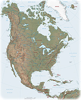
America
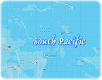
Oceania
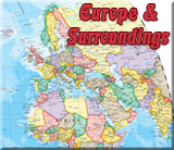
Europe
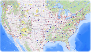
United States
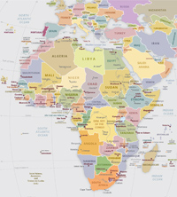
Africa
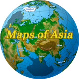
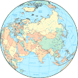
Asia
Maps
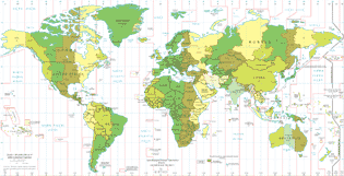
Standard Time Zones