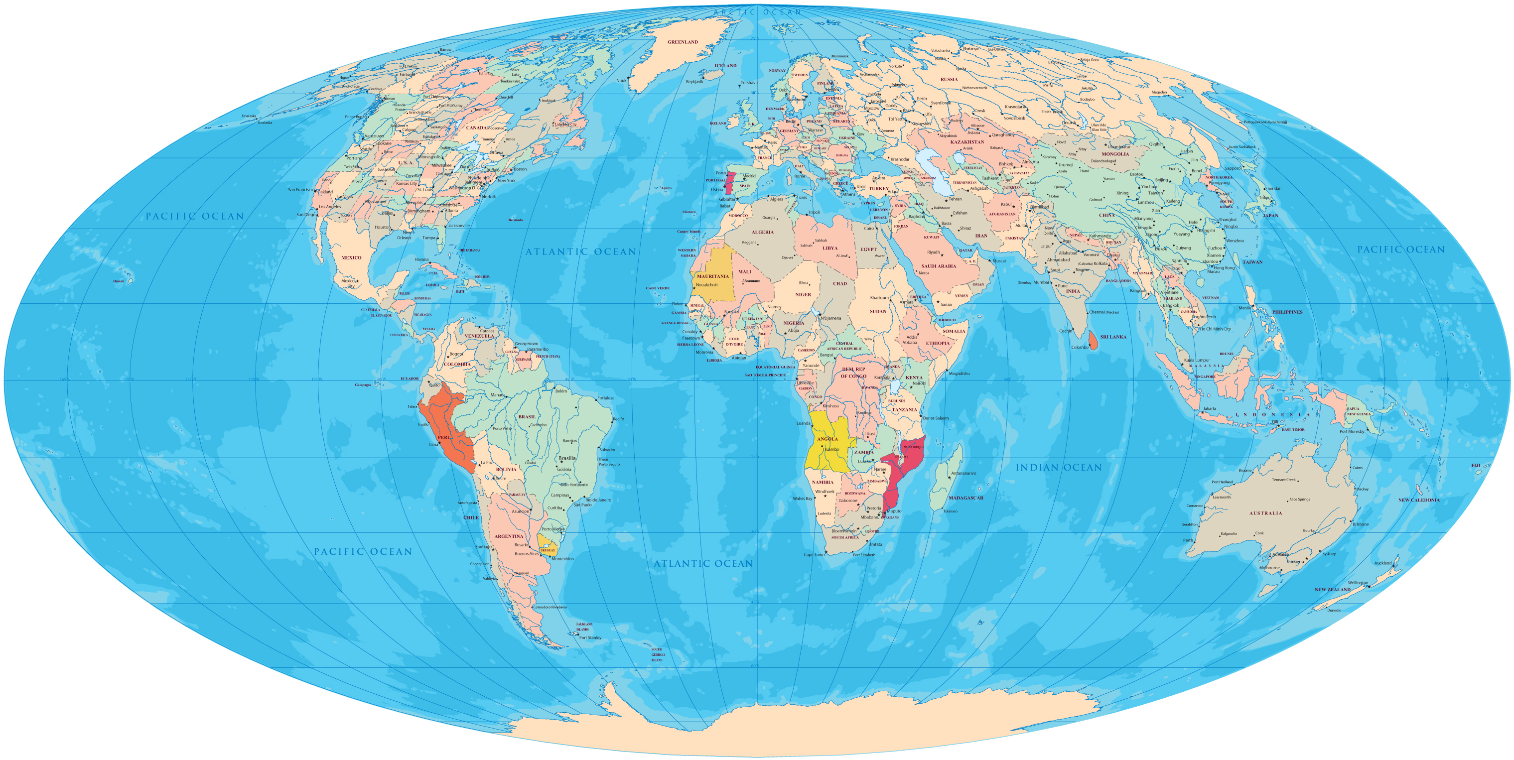
Mapa Mundi, Mollweide Projection
|
Copyright © Geographic Guide - World in Pictures, Mapa Mundi. |
The Mollweide projection is an equal-area map projection used for making maps of the world or celestial sphere. The projection trades accuracy of angle and shape for accuracy of proportions in area, and as such is used where that property is needed, such as maps depicting global distributions. It was first published by mathematician and astronomer Karl Brandan Mollweide (1774–1825) of Leipzig in 1805. It was reinvented and popularized in 1857 by Jacques Babinet, who gave it the name homalographic projection.

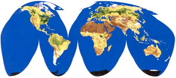

Mapa Mundi, Mollweide Projection