
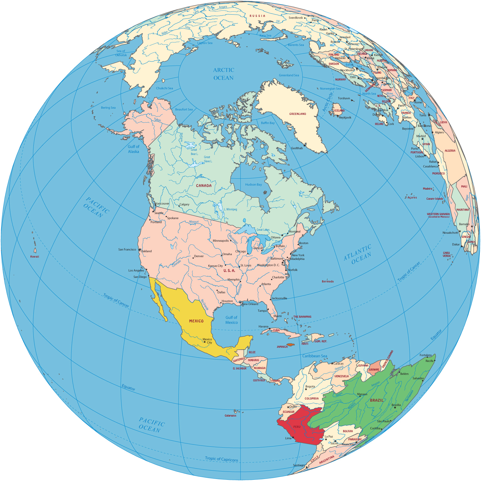
North America Political Map - Globe
North America is one of the four parts of the American Continent. The other parts are Central America, South America and the Antilles. North America includes Canada, Greenland (an autonomous territory in the Kingdom of Denmark), Mexico, Saint Pierre and Miquelon (a self-governing territorial overseas collectivity of France) and the United States. Canada and the U.S.A. are two of the largest countries in the Planet.
The Great Lakes comprising: Lake Superior, Lake Michigan, Lake Huron, Lake Erie and Lake Ontario, represents the largest surface of fresh water in the world.
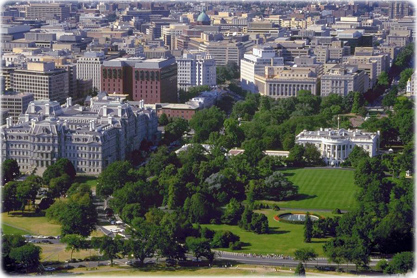
The White House in Washington D.C. - USA.
Satellite Images
|
Copyright © Geographic Guide - World in Pictures, American Continent. |

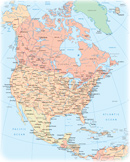
North America Political Map - Globe