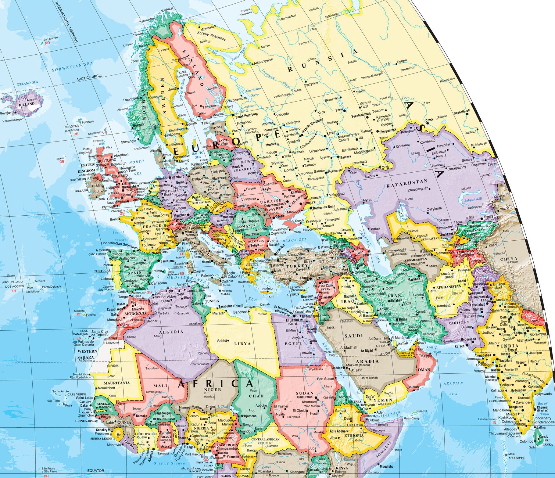
Europe and Surroundings

Showing Europe, Middle East, Central Asia, Northern Africa and some other parts of the world.

Saint-Malo Cathedral at night, France (photo Vladimir Zhuravlev).
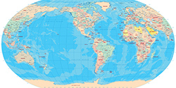
Source (edited): Atlas of Canada's Reference Map Series - Natural Resources Canada.
|
Copyright © Geographic Guide - World in Pictures, European Continent. |