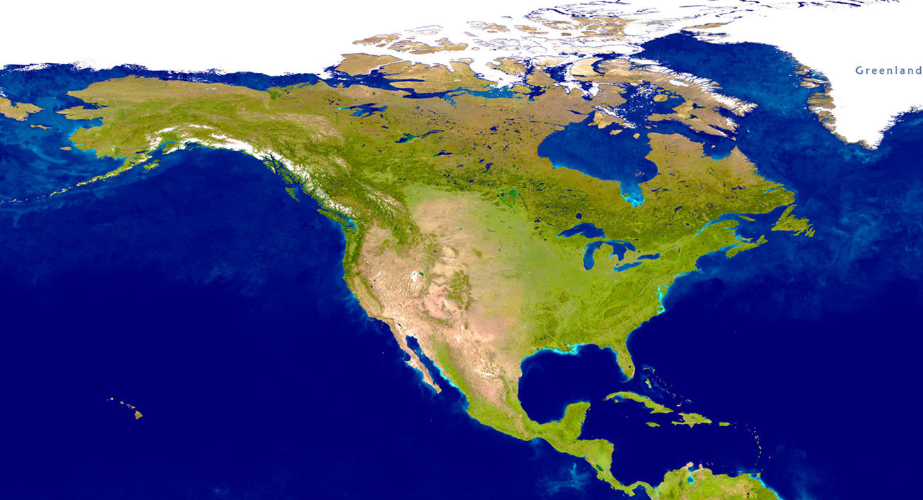
Image of North America from Space
True-color image of North America (NASA - U.S. Geological Survey).
North America consists of the northern part of the American continent, including Canada, the United States, Mexico, Greenland (Denmark) and Saint Pierre and Miquelon, a self-governing territorial overseas collectivity of France.
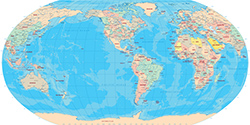
More satellite images: Africa, Antarctica, South America.
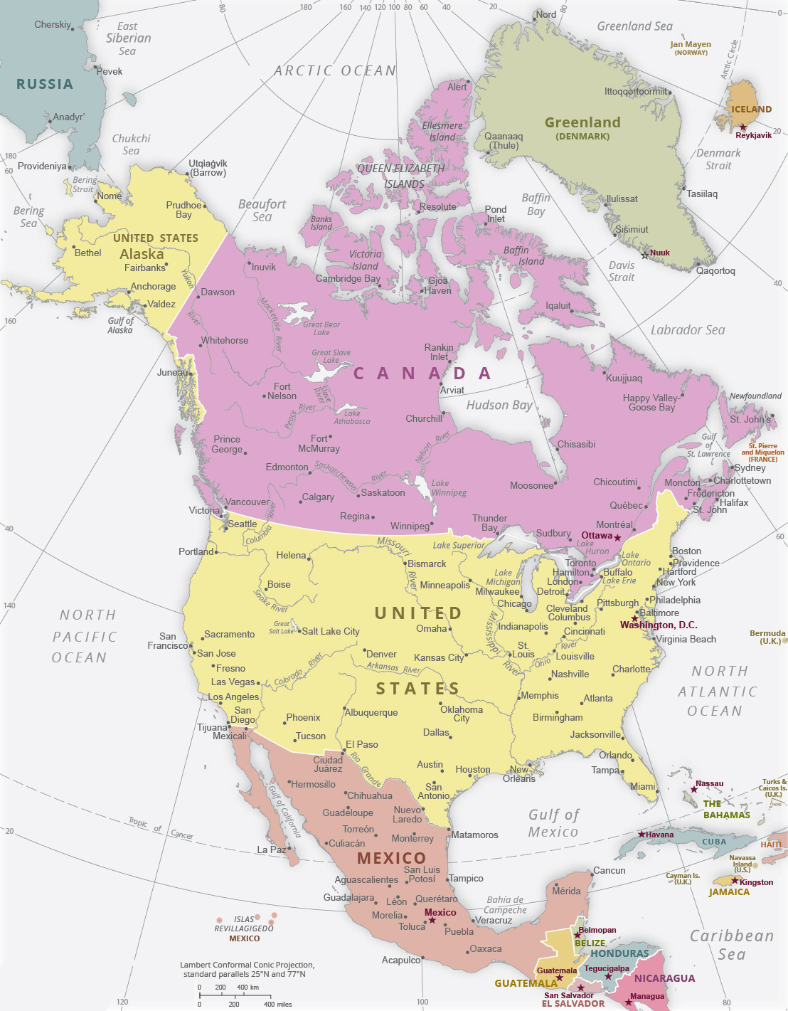

Political Map of North America
Skiing in Crested Butte, Colorado.

United States


|
Copyright © Geographic Guide - World in Pictures. North America. |
United States of America
Political Map of North America
Canada
The Bahamas
Pacific Ocean
Mexico
Image of North America from Space
Atlantic Ocean

Russia