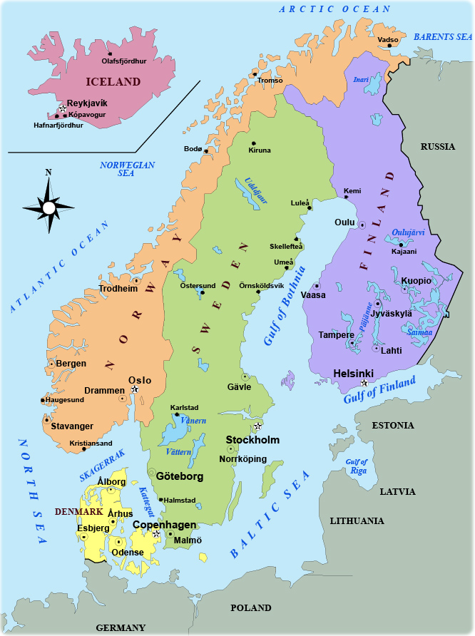
Scandinavia Map
Scandinavia is a region of northern Europe, consisting of Denmark, Finland, Iceland, Norway and Sweden.

Finland was a province and then a grand duchy under Sweden from the 12th to the 19th centuries and an autonomous grand duchy of Russia after 1809. It won its complete independence in 1917. During WW II, it was able to successfully defend its freedom and resist invasions by the Soviet Union, albeit with some loss of territory. In the subsequent half century, the Finns made a remarkable transformation from a farm/forest economy to a diversified modern industrial economy; per capita income is now on par with Western Europe. Finland was the only Nordic state to join the euro system, as a member of the European Union, at its initiation in January 1999.
Uspenski Cathedral, in the background, Helsinki.
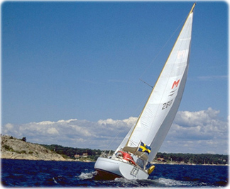
Sail in Sweden

|
Copyright © Geographic Guide - World in Pictures. European Continent. |
