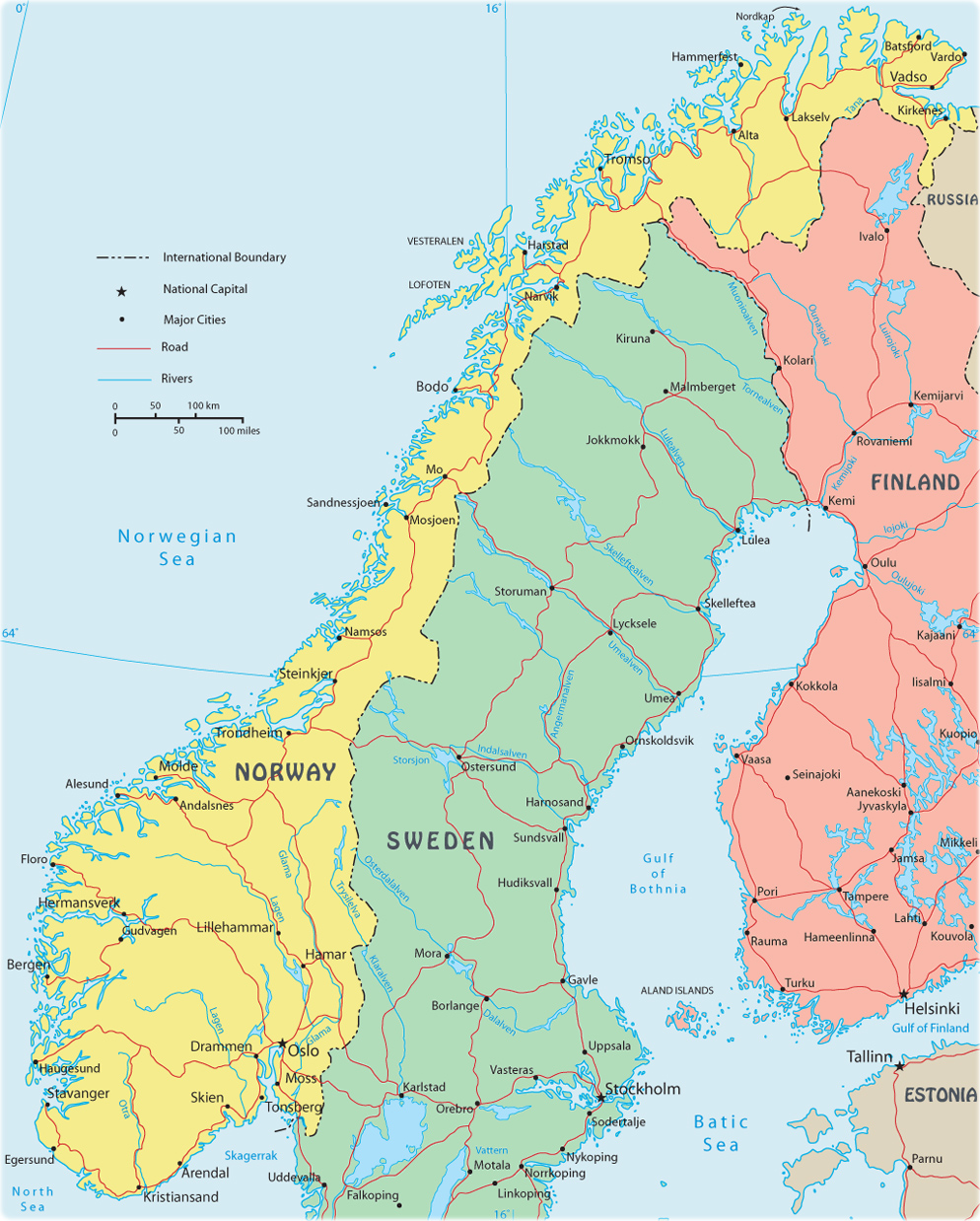
Map of Norway

Norway is bordered on the north by the Barents Sea, on the east by Russia, Finland and Sweden, and on the south by the Skagerrak Strait, which separates the country from Denmark, and on the west by the North Sea and by the Norwegian Sea. The country also has islands located far away from its coasts.
Note: Bouvet is island in the South Atlantic Ocean, southwest of the Cape of Good Hope (South Africa). It is a territory of Norway, covered by glacial ice and declared a nature reserve.
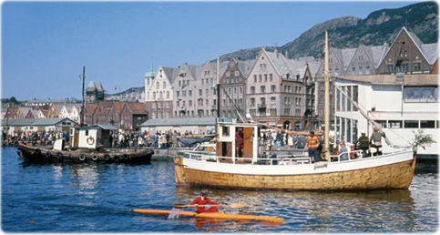
Port of the historic city of Bergen, in the west coast of Denmark.

|
Copyright © Geographic Guide - World in Pictures. European Continent. |
