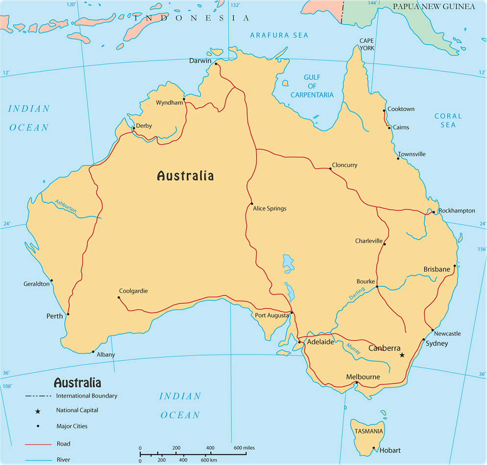
Map of Australia
Australia is the biggest island in the world, part of Oceania that includes other islands in the Pacific Ocean. Canberra is the national capital and Melbourne is the largest urban area, followed closely by Sydney.

Timor Leste
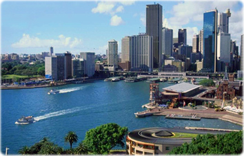
Sydney, the capital of Australia.
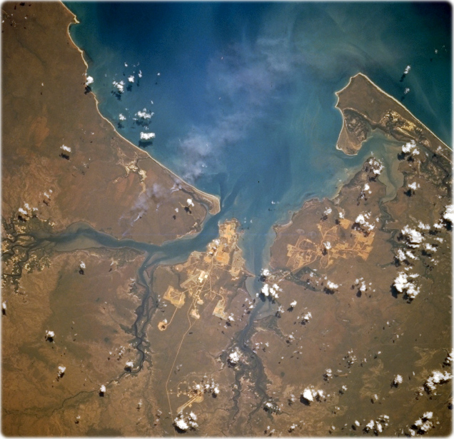
Weipa Area, Queensland (NASA - October 1995). Located on the eastern side of the Gulf of Carpentaria and on the west coast of the Cape York Peninsula, Weipa is situated along the northern coast of a peninsula that is bordered by the Mission River (north) and Embley River (south), which rise in the Great Dividing Range. The light colored areas show the locations of the large bauxite mining operation that exploits one of the richest bauxite deposits in the world.

|
Copyright © Geographic Guide - World in Pictures, Oceania. |

Map of Australia
