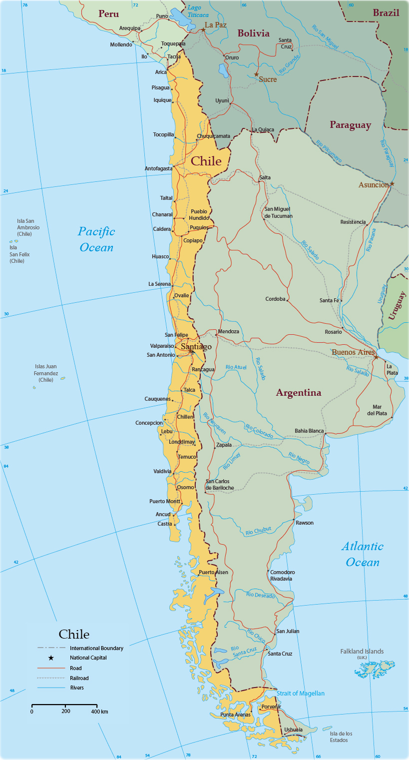
Chile Map
Chile is a country in southwestern South America, occupying a long, narrow ribbon of land along the Pacific Ocean. It stretches approximately 4,270 km from north to south but its average width is less than 180 km. Chile has borders with Argentina, Bolivia and Peru.


Easter Island, a special territory of Chile in the southeastern Pacific Ocean.
|
Copyright © Geographic Guide - World in Pictures, American Continent. |
