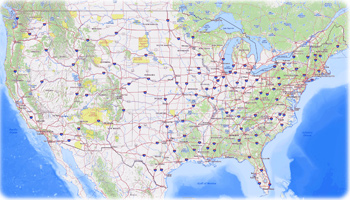
Map of Ohio - USA
The U.S. state of Ohio was named after the Ohio River. The capital and largest city in Columbus. It has boundaries with West Virginia and Kentucky on the southeast and south, Pennsylvania on the east, Indiana on the west, and Michigan on the northwest. Lake Erie lies on the north. More images of Ohio ►

One of the "Guardians of Traffic" pylons in the Hope Memorial Bridge in Cleveland, the second largest city of Ohio.

|
Copyright © Geographic Guide - World in Pictures, American Continent. |

Source (edited): U.S. Geological Survey.