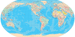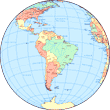
South America in the Globe
We can see from the image that South America dominates the part of the Globe it fits into with its roughly triangular shape. South America is the southern part of the American Continent. It was the original New World and the original America in the early 16th century. These designations were extended later to the rest of the continent. The name AMERICA was first placed in Brazil in 1507.
|
Copyright © Geographic Guide - World in Pictures, American Continent. |
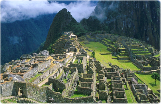
Machu Picchu, Peru.
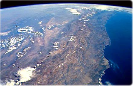
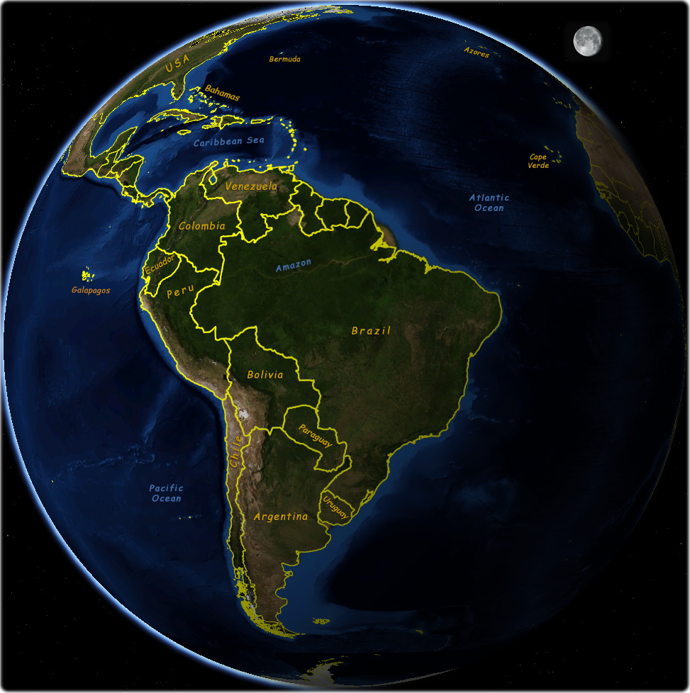
Chile Coastline and Andes Mountains, by NASA. Andes is the main mountains of South America and one of the greatest mountain systems of the world. It includes some of the world’s highest peaks, more than 50 of them soar higher than 6,100 m above sea level. The lofty plateaus and high mountain valleys of the Andes contain some of the highest permanent human settlements in the world. The Andes are the longest system of high mountain ranges on earth. They extend for more than 8000 km in a narrow belt along the western edge of the South American continent, from the coast of the Caribbean Sea in the north to the island of Tierra del Fuego in the extreme south.
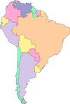
Maps of Continents