
Images of South America
South America is one of the four parts of the American Continent, the other are North America, Central America and the Antilles. It occupies 17,820,900 km² or 12 percent of the Earth's land surface. Visit also the web page dedicated to Bahia and São Paulo, in Brazil.
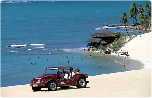
Praia da Pipa, a popular tourist destination in Rio Grande do Norte, Brazil.
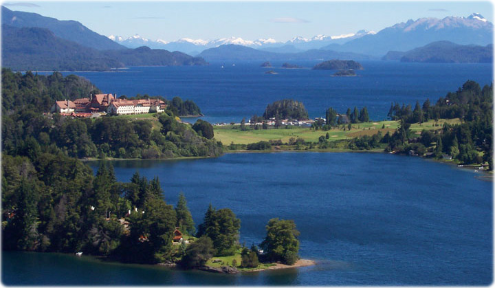
Lakes at the Nahuel Huapi National Park in Patagonia, Argentina.
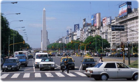
Nueve de Julio Avenue in Buenos Aires, the capital and biggest city in Argentina. This avenue was named after Argentina's independence day (9 July 1816). The Obelisk, built in 1936, measures 67 meters high (220 feet) and commemorates the founding of the city.
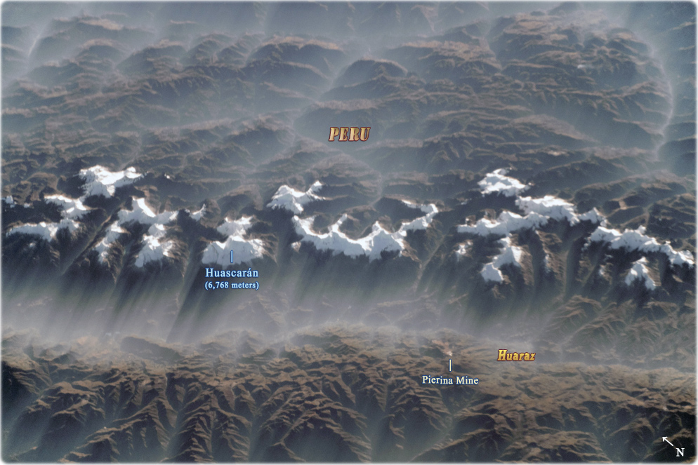
A misty morning over the western Cordillera Blanca in Peru, with over 700 glaciers. Snow-capped peaks cast long shadows over the valleys (image acquired on May 18, 2019, NASA/ISS). The highest mountains in Peru are visible, including Huascarán (6,768 meters) above sea level. The peaks have been eroded by glaciers into steep curving ridges, known as cirques. The mining city of Huaraz is barely visible under the fog, but the Pierina Mine, an open pit gold mine, can be seen.
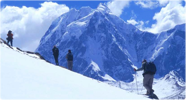
Andes, Peru.
|
Copyright © Geographic Guide - World in Pictures. South America. |
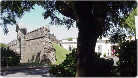
Ruins of the historic Colonia del Sacramento, in Uruguay, founded by the Portuguese in 1680 (photo (Ministerio de Turismo).
Images of South America

Gerardo Tjor
Divulgação