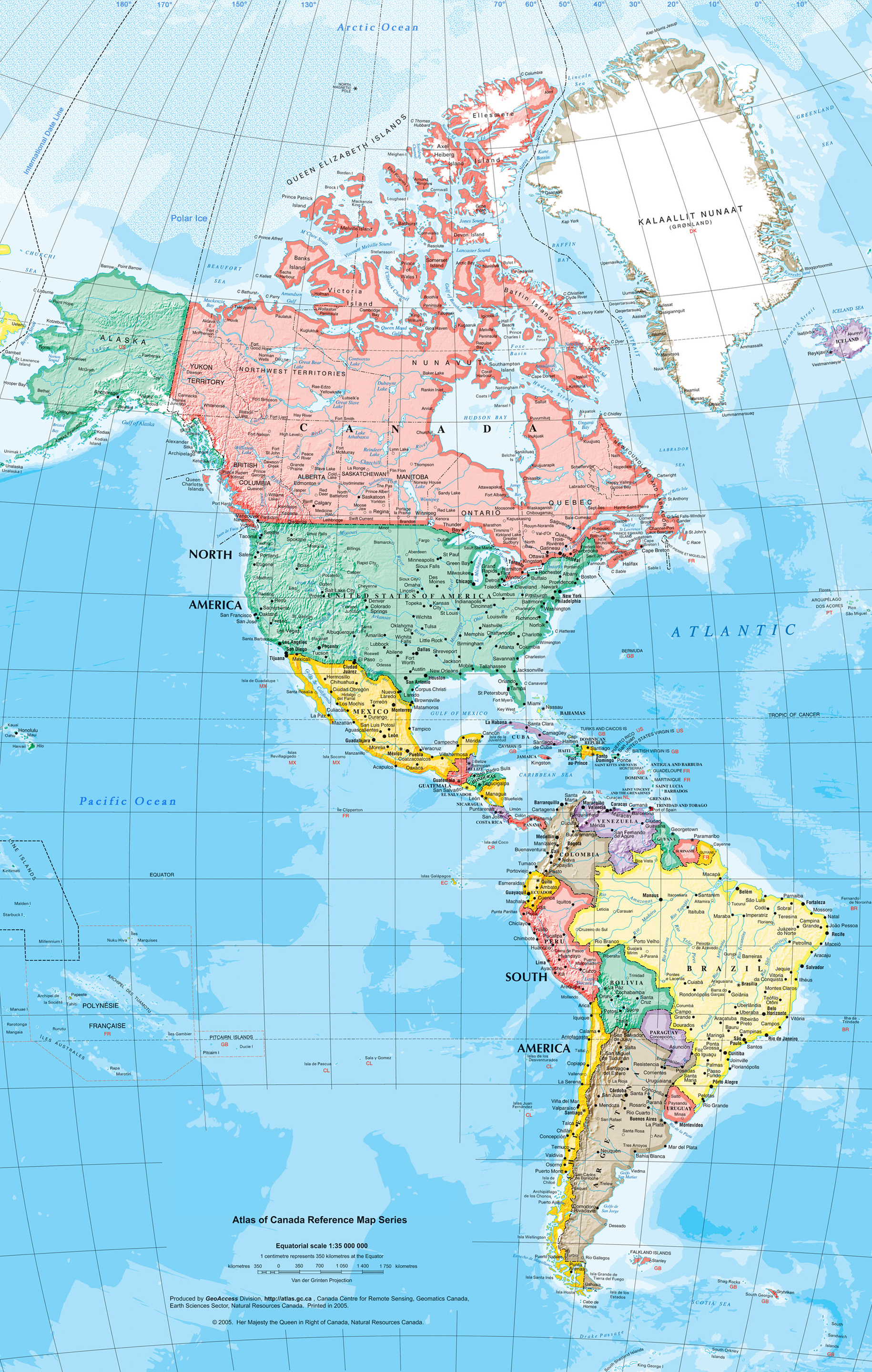
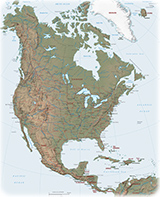
Map of American Continent
The American Continent from the Atlas of Canada Reference Map Series, produced by GeoAccess Division, Canada Centre for Remote Sensing, Geomatics Canada.
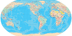
America is the second largest continent right after Asia, and is the third largest continent by population. The continent make up most of the land in Earth's Western Hemisphere. Along with their associated islands, it covers 8% of Earth's total surface area and 28.4% of its land area. The topography is dominated by the American Cordillera, a long chain of mountains that runs the length of the west coast. The flatter eastern side of the America is dominated by large river basins, such as the Amazon, St. Lawrence River–Great Lakes, Mississippi, and La Plata basins. Since the America extend 14,000 km from north to south, the climate and ecology vary widely, from the arctic tundra of Northern Canada, Greenland, and Alaska, to the tropical rainforests in Central America and South America.
Americas is home to more than a billion inhabitants, two-thirds of whom reside in the United States, Brazil, and Mexico. It is home to eight megacities (metropolitan areas with 10 million inhabitants or more): Greater Mexico City (21 million), São Paulo (21 million), New York City (20 million), Los Angeles (19 million), Buenos Aires (15 million), Rio de Janeiro (13 million), Bogotá (10 million), and Lima (10 million).
Source (edited): Atlas of Canada's Reference Map Series - Natural Resources Canada / Open Government Licence.

|
Copyright © Geographic Guide - World in Pictures, American Continent. |